Puerto Rico Interactive Map
Explore Puerto Rico's six tourism regions with our Interactive Map and discover the Island's diverse landscapes, cultures, and must-see attractions.
Puerto Rico is a Caribbean archipelago approximately 100 miles long and 35 miles wide, making it easy to experience beaches, mountains, rainforests, historic cities, and coastal towns—all within a relatively short drive.
Our Interactive Map is designed to help you become familiar with Puerto Rico's six tourism regions—Metro, North, South, East, West, and Central Mountains—and the unique experiences each offers. As you explore the map, you'll discover the main attractions, points of interest, and experiences that make every region worth visiting, from the historic streets of Old San Juan and El Yunque National Forest to surf beaches, bioluminescent bays, mountain escapes, and world-class culinary experiences.
While each of Puerto Rico's 78 municipalities has its own unique character, the Interactive Map provides an easy way to understand the Island through its six tourism regions, making it simpler to plan an itinerary based on your interests and the experiences you're looking for.
Whether you're visiting for a weekend getaway or a longer vacation, use the Interactive Map to explore Puerto Rico region by region, discover iconic attractions, and find inspiration for your next adventure.
Start exploring today.
Prefer a printable version? Download this Puerto Rico map to get a quick overview of the Island's regions, major highways, and popular destinations before your trip.
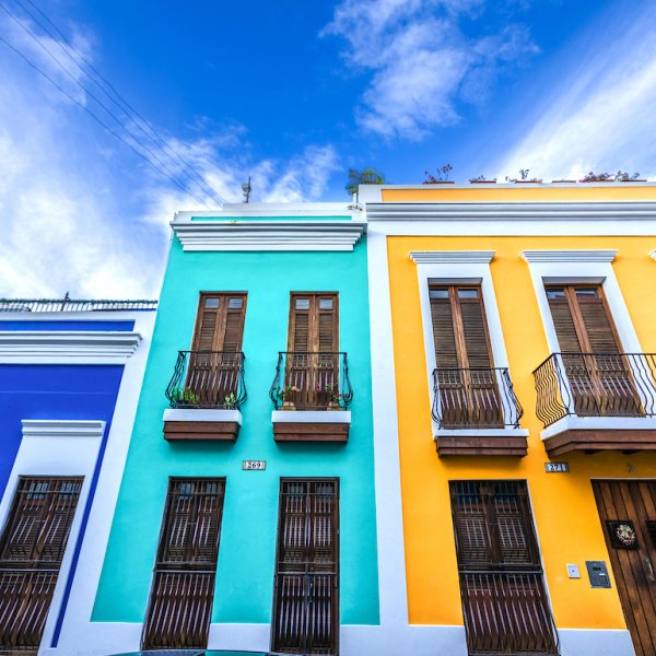
Discover amazing food, drinks, and shops where history and culture intersect with bustling city life.
Discover more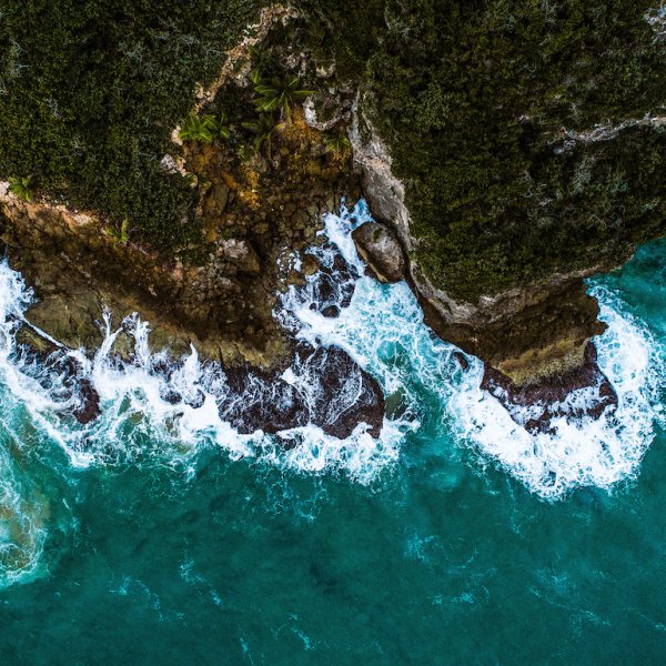
Experience unique topography, impressive caves, and unforgettable beaches.
Discover more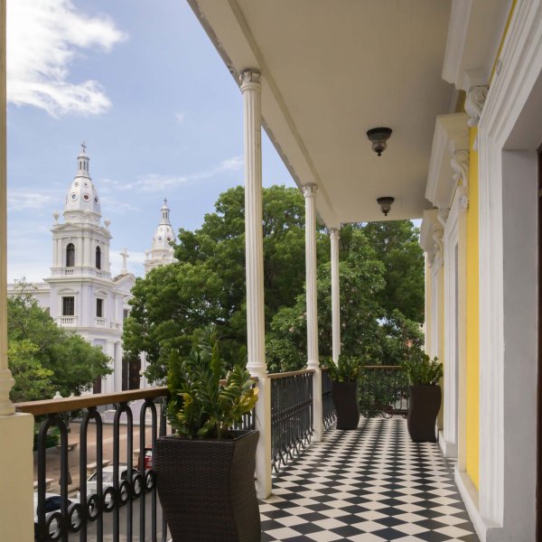
View of Plaza Las Delicias from the Ponce Plaza Hotel & Casino.
Immerse yourself in colorful architecture, historic art, and natural beauty.
Discover more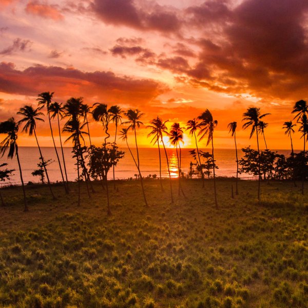
A brilliant sunset from Tres Palmas beach, on the west coast of Puerto Rico.
Catch some waves and laid-back vibes in Puerto Rico's capital of surfing and sunsets.
Discover more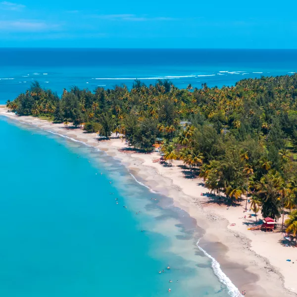
Calm waves and soft sand await you in Luquillo for an easy beach day
Puerto Rico's enchanting east region offers secluded beaches, tropical cays, and a legendary rainforest.
Discover more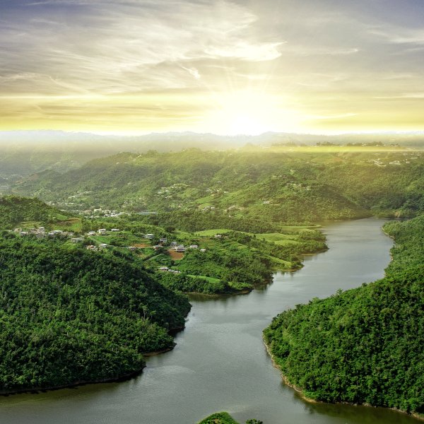
For a tour of a working coffee hacienda, head to the Island’s central mountain region.
Venture into majestic mountains to explore small towns, big adventures, and tasty creole cuisine.
Discover more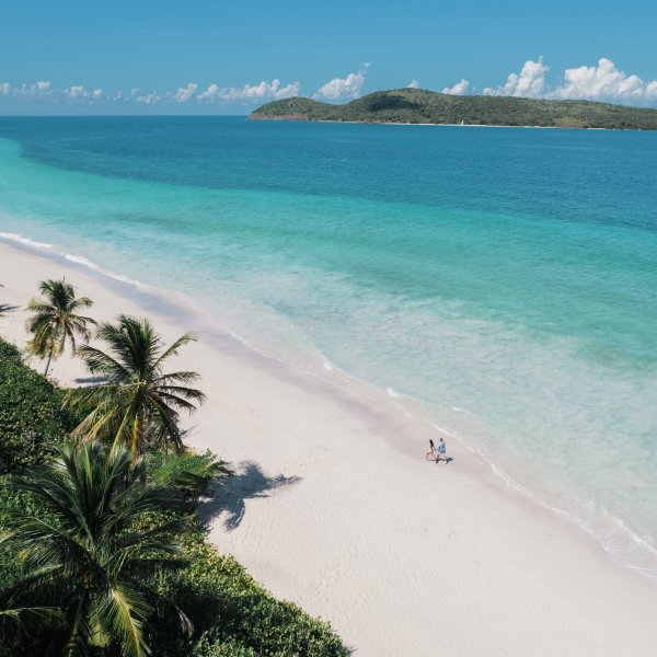
Two islands. Clear water. Wild nature. Slower days.
Discover more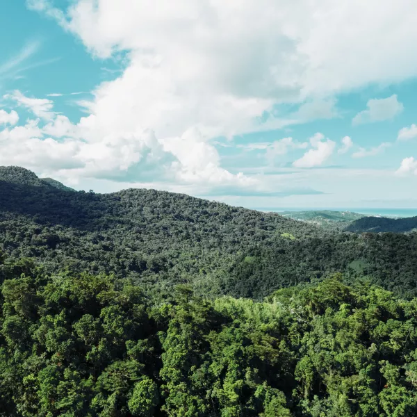
Our amazing views from the mountains.
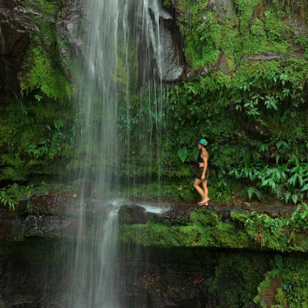
Make the most of your stay while adventuring in El Yunque.
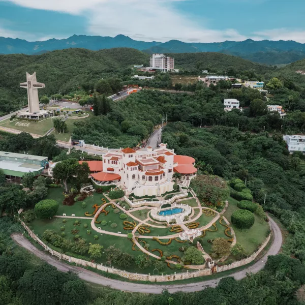
We have castles too; visit the Museo Castillo Serallé in Ponce.
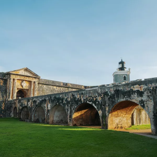
El Morro is one of our oldest historic sites and a must-visit.
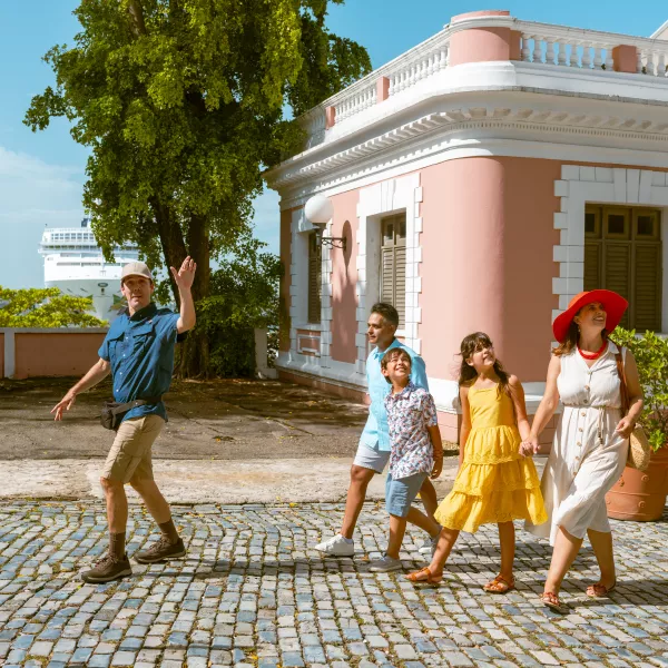
Have a guided walk tour through Viejo San Juan with our experts.
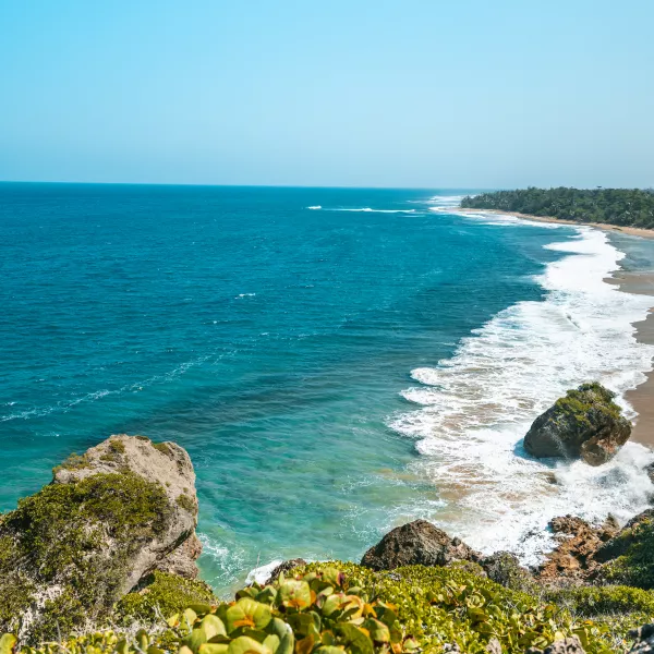
The beauty of our beaches, they meet with the greenery of the Island.

Relax, feel the waves and the sun at the beaches.
Visitor Regional Guides · Visitor Regional Guides · Visitor Regional Guides · Visitor Regional Guides · Visitor Regional Guides · Visitor Regional Guides · Visitor Regional Guides · Visitor Regional Guides · Visitor Regional Guides · Visitor Regional Guides ·
Visitor Regional Guides · Visitor Regional Guides · Visitor Regional Guides · Visitor Regional Guides · Visitor Regional Guides · Visitor Regional Guides · Visitor Regional Guides · Visitor Regional Guides · Visitor Regional Guides · Visitor Regional Guides ·

Cruise Shore Excursion Ideas in Puerto Rico
Puerto Rico has the perfect shore excursion for you.
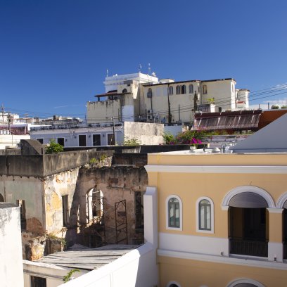
6 Days in the Metro Region of Puerto Rico
Experience where urban escapade meets relaxing paradise.
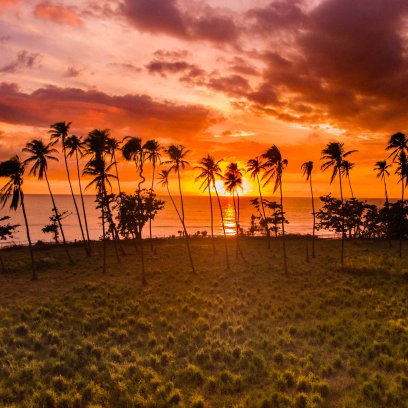
5 Days in the West Region of Puerto Rico
Experience big waves, beautiful beaches, and the best view of the Caribbean sunset.
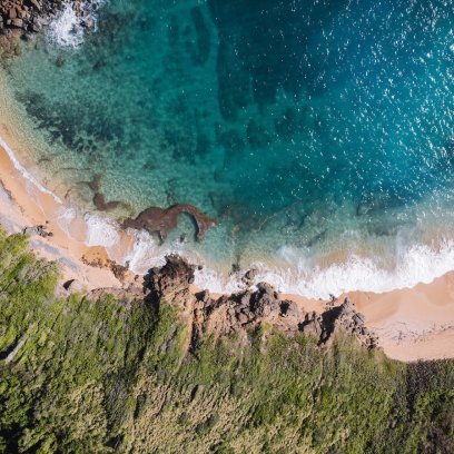
5 Days in the East Region of Puerto Rico
A paradise for nature lovers and foodie travelers awaits.
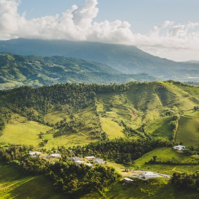
6 Days in the Central Mountains of Puerto Rico
Explore beyond the shore and into the center region of the Island.
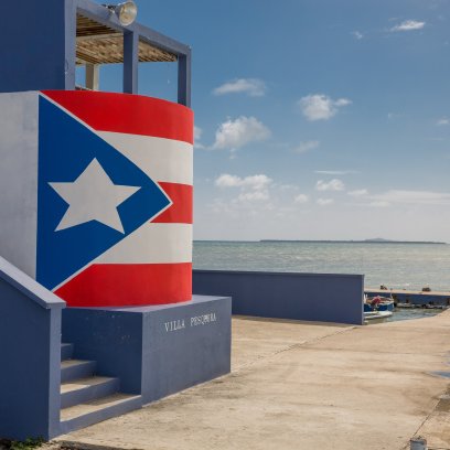
6 Days in the South of Puerto Rico
Experience Puerto Rico’s take on southern charm and hospitality.
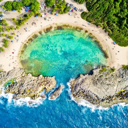
5 Days in the North Region of Puerto Rico
Soak up the sun while overlooking the Atlantic Ocean.