For a tour of a working coffee hacienda, head to the Island’s central mountain region.
Central Mountains
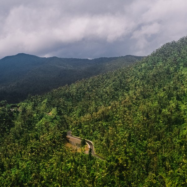
Puerto Rico's Central Mountains are known for small towns, food excursions, and lots of adventure.
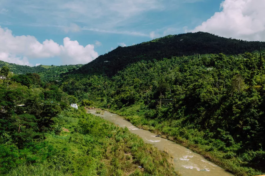
Away from the coast is la Cordillera Central, Puerto Rico’s interior mountain region, which runs from east to west through 14 municipalities. With a history and culture rooted in agriculture, this region has diverse vegetation and produces most of the Island’s coffee, which you can taste at several haciendas. Venture into majestic mountains to savor tasty creole cuisine and take in the sweeping views in every direction.
REGION FACTS:
Driving distance from San Juan’s airport: 1–1.5 hours
Driving distance from Aguadilla’s airport: 2–2.5 hours
Explore the Central Mountain Region
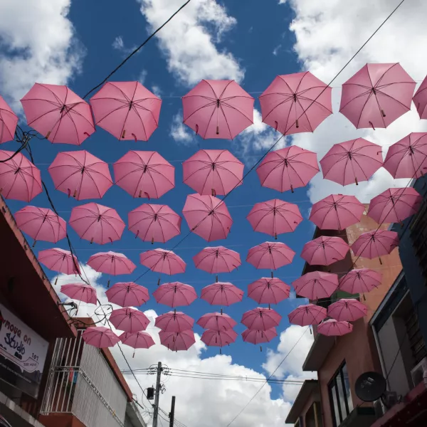
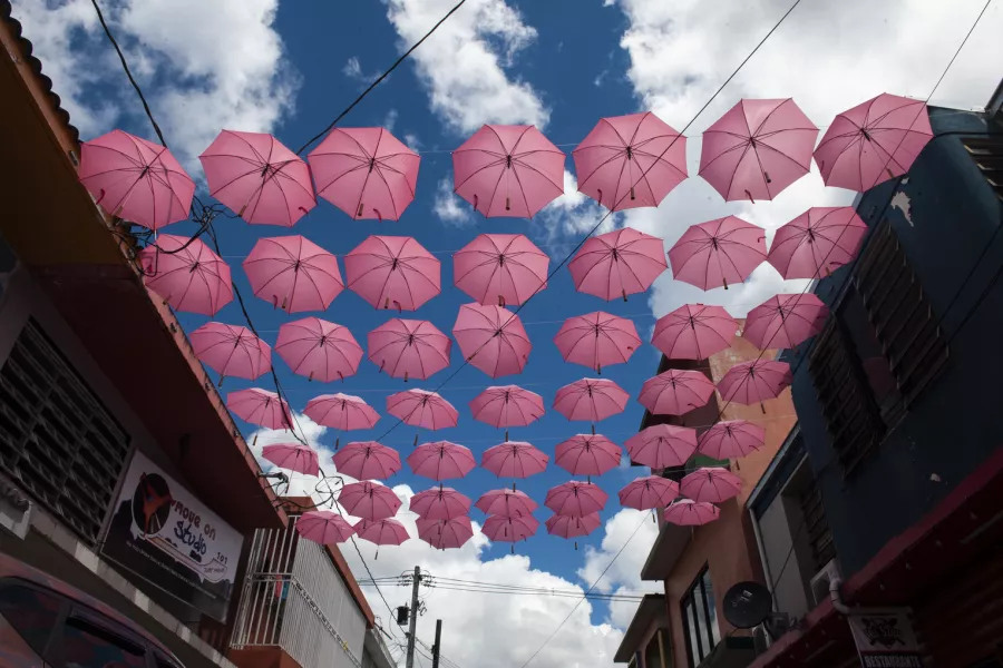
A street in Cidra, Puerto Rico.
Cidra
A peaceful mountainside respite with historic appeal.
Discover more
History is everywhere you look in Corozal.
Corozal
If you’re looking to trade blaring car horns for bird calls, you’ll find your oasis in Corozal.
Discover more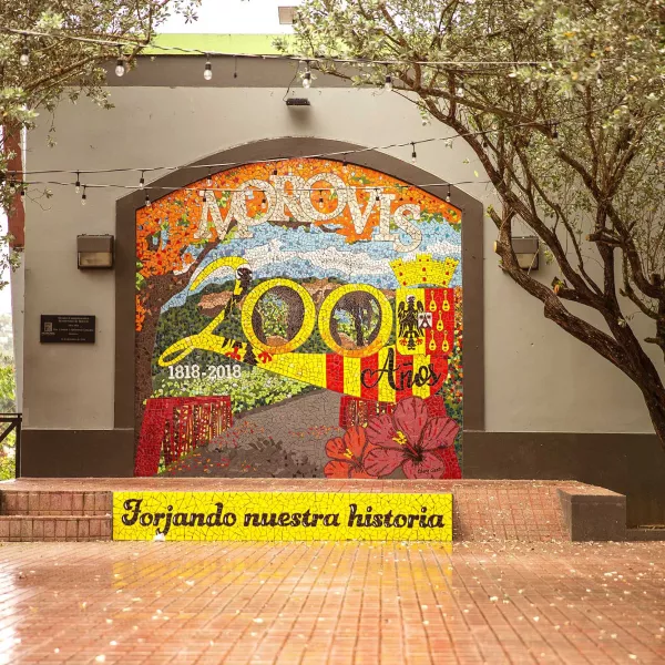
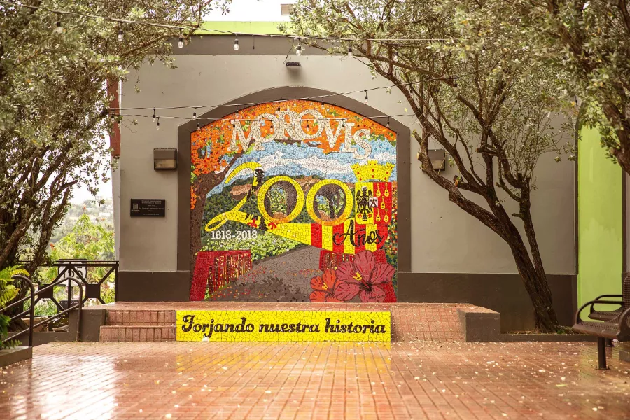
Morovis is a picturesque and fertile region, and is an agricultural hub for coffee, tobacco, and local fruits.
Morovis
Morovis is a picturesque and fertile region set in the hills of Colinas Húmedas del Norte.
Discover more
Located in Barranquitas, Salto La Vaca is the highest waterfall in Puerto Rico
Barranquitas
The windy, narrow roads of La Ruta Panorámica lead the way to Barranquitas, a municipality set high in the Cordillera Central mountain range.
Discover more
You'll find lots of beautiful mountain views in Jayuya.
Jayuya
Spectacular scenery and living history in the Central Mountains.
Discover more
Guavate is famous for its Ruta de Lechón, a windy strip of cafeteria-style restaurants and kiosks that serve up loads of lechón, a Puerto Rican preparation of roasted pork.
Cayey
Tucked in a mountain valley, the "Green City" is home to one of the most iconic gastronomic routes on the Island.
Discover more
Jesús Izcoa Moure Bridge in Naranjito.
Naranjito
Discover breathtaking expressions of nature and Puerto Rico’s winningest sports team.
Discover more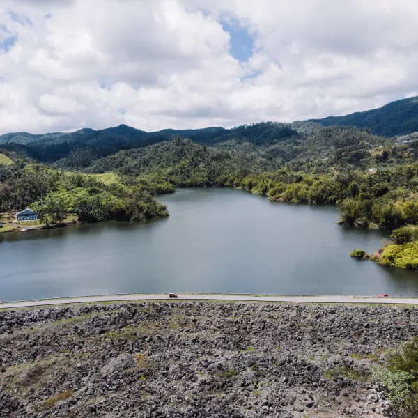
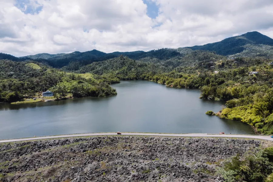
Panoramic view of Garzas Lake in Adjuntas.
Adjuntas
Embrace the wonders of nature in this mountainous hub of Puerto Rican coffee farming.
Discover more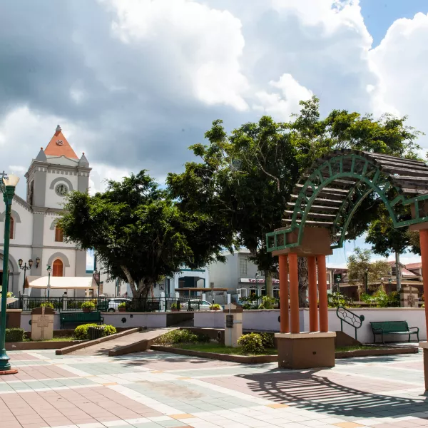
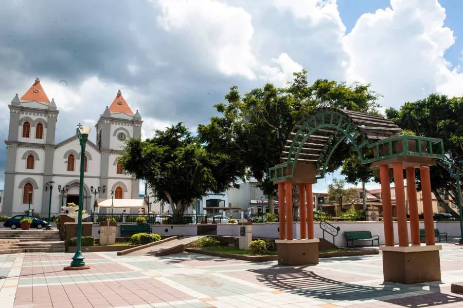
Plaza Iglesia in Aibonito
Aibonito
The idyllic municipality of Aibonito is known locally as Puerto Rico’s Garden.
Discover more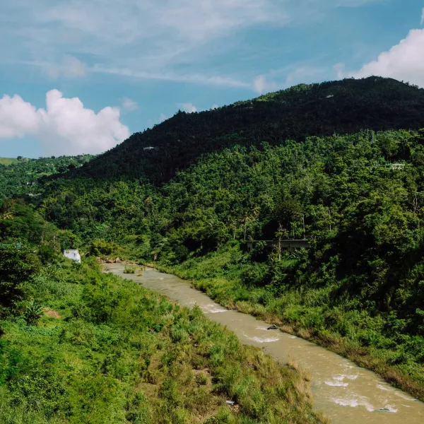
The natural beauty of Comerío is on full display along the "The Route of the Seven Wonders."
Comerío
Comerío's crisp, clean air, and rolling green landscape earned it the nickname "el Paraíso entre Montañas" (Paradise Between Mountains.)
Discover more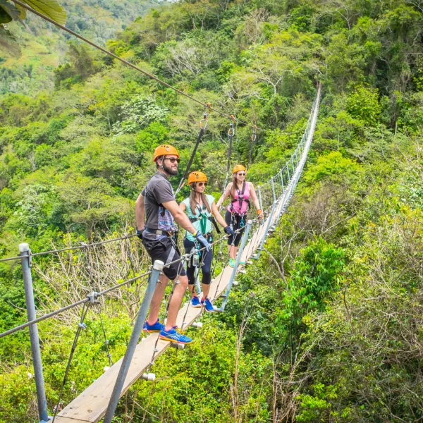
Traversing the suspended bridge at Toro Verde Adventure Park.
Orocovis
"The heart of Puerto Rico" is a hub of outdoor adventure and natural beauty.
Discover more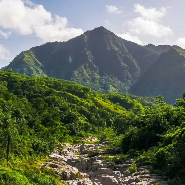
Discover one of Puerto Rico's most majestic sights at Cañón Blanco in Utuado.
Utuado
Discover Indigenous culture and natural beauty in the mountains.
Discover more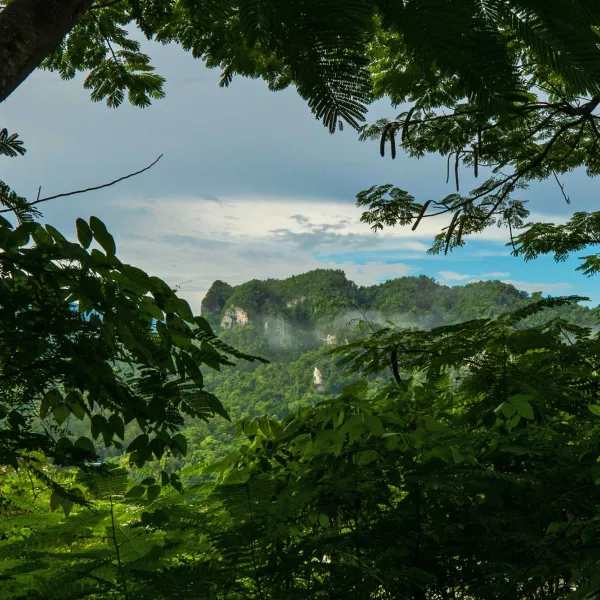
Adéntrate en Ciales, un pueblo montañoso en el corazón de la Cordillera Central de Puerto Rico.
Ciales
This highland town is home to caverns, coffee plantations, and many waterfalls.
Discover more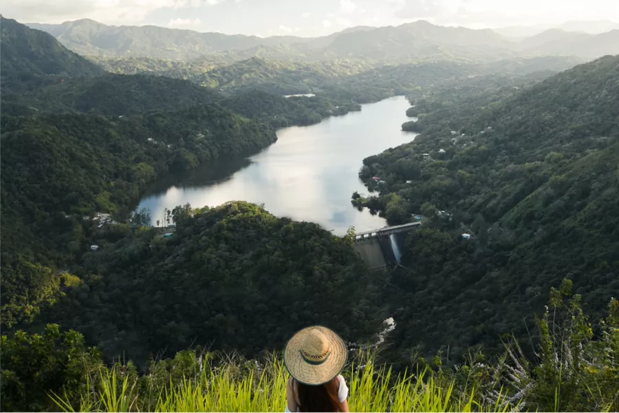
Things to Do
The scenery in this area varies from mountains to caves, from plains to canyons and rivers, making this region a great destination for adventures of all kinds. Orocovis, one of the biggest towns in central Puerto Rico, is home to Toro Verde Nature Adventure Park, which boasts one of the longest ziplines in the world. Another very popular activity is Tanamá River cave-tubing tours, which is the perfect mix of deep adventure and leisurely ride, as you float along waterways and through subterranean chambers.
For some local flavor, visit a working coffee hacienda, where you can tour the facilities, taste samples of locally grown coffee, and enjoy mountain views. These haciendas usually also serve local food, such as white rice, stewed beans, and fried meat.

No one does roasted pork better than Puerto Ricans.
Where to Eat
This region has its own distinct take on Puerto Rican cuisine. Savor cuts of meat cooked over charcoal, a variety of rice dishes and fried foods, as well as the famous mofongo topped with various meats and sauces. Restaurants like Casa Bavaria in Morovis, Tío Pepe in Aibonito, and Las Garzas in Adjuntas are all iconic restaurants known as mesones gastronómicos that you shouldn’t miss.
More Places to Explore · More Places to Explore · More Places to Explore · More Places to Explore · More Places to Explore · More Places to Explore · More Places to Explore · More Places to Explore · More Places to Explore · More Places to Explore ·
More Places to Explore · More Places to Explore · More Places to Explore · More Places to Explore · More Places to Explore · More Places to Explore · More Places to Explore · More Places to Explore · More Places to Explore · More Places to Explore ·
Panoramic view of Garzas Lake in Adjuntas.
Adjuntas
Embrace the wonders of nature in this mountainous hub of Puerto Rican coffee farming.
Plaza Iglesia in Aibonito
Aibonito
The idyllic municipality of Aibonito is known locally as Puerto Rico’s Garden.

Located in Barranquitas, Salto La Vaca is the highest waterfall in Puerto Rico
Barranquitas
The windy, narrow roads of La Ruta Panorámica lead the way to Barranquitas, a municipality set high in the Cordillera Central mountain range.

Guavate is famous for its Ruta de Lechón, a windy strip of cafeteria-style restaurants and kiosks that serve up loads of lechón, a Puerto Rican preparation of roasted pork.
Cayey
Tucked in a mountain valley, the "Green City" is home to one of the most iconic gastronomic routes on the Island.
A street in Cidra, Puerto Rico.
Cidra
A peaceful mountainside respite with historic appeal.
The natural beauty of Comerío is on full display along the "The Route of the Seven Wonders."
Comerío
Comerío's crisp, clean air, and rolling green landscape earned it the nickname "el Paraíso entre Montañas" (Paradise Between Mountains.)
History is everywhere you look in Corozal.
Corozal
If you’re looking to trade blaring car horns for bird calls, you’ll find your oasis in Corozal.

You'll find lots of beautiful mountain views in Jayuya.
Jayuya
Spectacular scenery and living history in the Central Mountains.
Morovis is a picturesque and fertile region, and is an agricultural hub for coffee, tobacco, and local fruits.
Morovis
Morovis is a picturesque and fertile region set in the hills of Colinas Húmedas del Norte.

Jesús Izcoa Moure Bridge in Naranjito.
Naranjito
Discover breathtaking expressions of nature and Puerto Rico’s winningest sports team.
Get Inspired and Discover Puerto Rico
Sponsored Content
Virtual Road Trip Around Puerto Rico
Fall in love with the many wonders of the island.
El Yunque is the only tropical rainforest in the US National Forest System.
Virtual Tour through Puerto Rico’s Natural Wonders
Take a guided tour through some of the island’s most pristine locations.

Wake up and smell... the ocean!
RV Trips around Puerto Rico
Is there anything more carefree than cruising through nature?
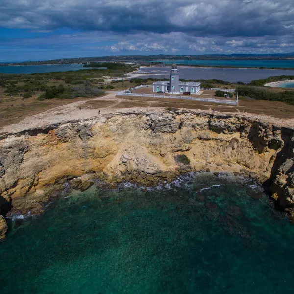
The limestone cliffs that surround Los Morrillos Lighthouse offer unparalleled views of the Island's coastline.
Virtual Tour through Puerto Rico’s Off the Beaten Path
Explore the island and discover roads less traveled.
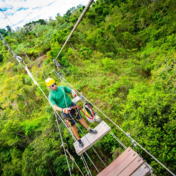
Tap into your adventurous side when you explore the many attractions inside Toro Verde.
Things to Do in Orocovis
The heart of Puerto Rico is a paradise for those seeking an adrenaline rush.
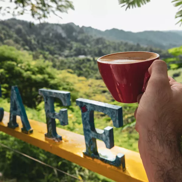
A visit to Ciales combines coffee and the outdoors.
Things to Do in Ciales
Coffee farms, waterfalls, caverns, and a cloud forest are all part of the magic of Ciales.
Explore the natural wonders of Puerto Rico through hiking adventures.
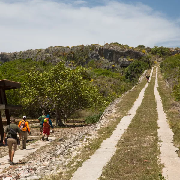
Popular Hiking Trails in Puerto Rico
Mountains peaks, oceanside cliffs, cloud forests, salt flats: Puerto Rico is a hiker's paradise.

Pedal away with a beach backdrop or in a lush-forest setting.
Biking Routes in Puerto Rico
From easy to more challenging, you can find a trail to explore.
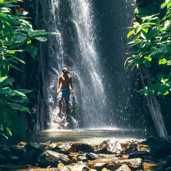
Most Beautiful Waterfalls in Puerto Rico
Hike on the great outdoors and unwind just around the river bend.
Discover Puerto Rico's E-Newsletter
Paradise for Your Inbox
Get travel inspiration, news, tips and more delivered monthly.